Shutterstock
Shutterstock
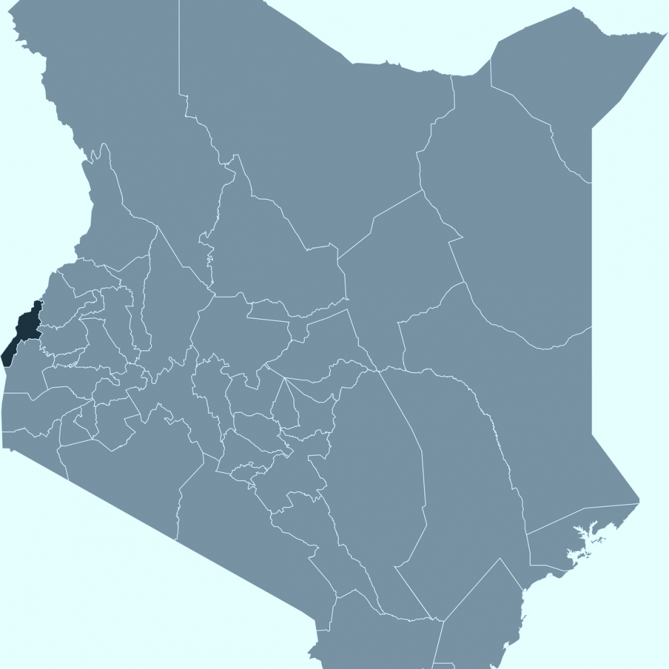
Abstract: Most of the legacy soil data and soils information lies idle in libraries and archives and is largely unused, especially in developing countries like Kenya. We demonstrated the usefulness of a stepwise approach to bring legacy soils data ‘back to life’ using the 1980 Reconnaissance Soil Map of the Busia Area (quarter degree sheet No. 101) in western Kenya as an example. Three studies were conducted using agronomic information, field observations, and laboratory data available in the published soil survey report as inputs to several digital soil mapping techniques. In the first study, a dataset of 76 soil profiles mined from the survey report together with 23 environmental covariates were used as inputs to three spatial prediction models for soil organic carbon (SOC) and texture. The three predictions models were (i) ordinary kriging, (ii) stepwise multiple linear regression, and (iii) the Soil Land Inference Model (SoLIM). Statistically, ordinary kriging performed better than SoLIM and stepwise multiple linear regression in predicting SOC (RMSE = 0.02), clay (RMSE = 0.32), and silt (RMSE = 0.10), whereas stepwise multiple linear regression performed better than SoLIM and ordinary kriging in predicting sand content (RSME = 0.11). From a pedological standpoint, SoLIM conformed better to soil forming factors than ordinary kriging and stepwise multiple linear regression. In the second study, rules generated from the map legend and map unit descriptions were used to generate a soil class map. Information about soil distribution and parent material from the map unit polygon descriptions were combined with six terrain attributes, to generate a disaggregated fuzzy soil class map. The terrain attributes were multiresolution ridgetop flatness (MRRTF), multiresolution valley bottom flatness (MRVBF), topographic wetness index (TWI), topographic position index (TPI), planform curvature, and profile curvature. The result was a soil class map with a spatial resolution of 30 m, an overall accuracy of 58%, and a Kappa coefficient of 0.54. Motivated by the wealth of soil agronomic information generated by this study, we successfully tested the feasibility of delivering this information in rural western Kenya using the cell phone-based Soil Explorer (https://soilexplorer.net/) app. This study demonstrates that legacy soil data include an important part of information that can play a critical role in providing sustainable solutions to assist in addressing some of the most pressing agronomic challenges currently facing Kenya and most African countries.
BIO: Joshua Minai is a postdoctoral research associate at Purdue University. He graduated from Purdue University with a Ph.D. (2019) and a Master of Science (2015) in Soil Science from the Ecological Sciences and Engineering Interdisciplinary Graduate Program at under the supervision of Prof. Darrell G. Schulze. He received a Bachelor of Science degree in Environmental Science from Kenyatta University, Kenya. Prior to graduate school, he was involved in forming the African Youth Initiative on Climate Change to promote African youth involvement in climate change mitigation and adaptation. He coordinated the African Youth Climate Justice Caravan: Road to Durban (We Have Faith-Act Now campaign) that brought together 160 youth from Africa, Europe, and the United States to participate in climate change advocacy in 6 African countries in preparation for the United Nations Climate Change Conference in Durban, South Africa in 2011. He grew up in Siaya, rural western Kenya, where he helped his parents in subsistence farming.
https://bluejeans.com/310759171/3845
Meeting ID: 310759171 / Participant passcode: 3845